Land surveying
Accuracy to make decisions.
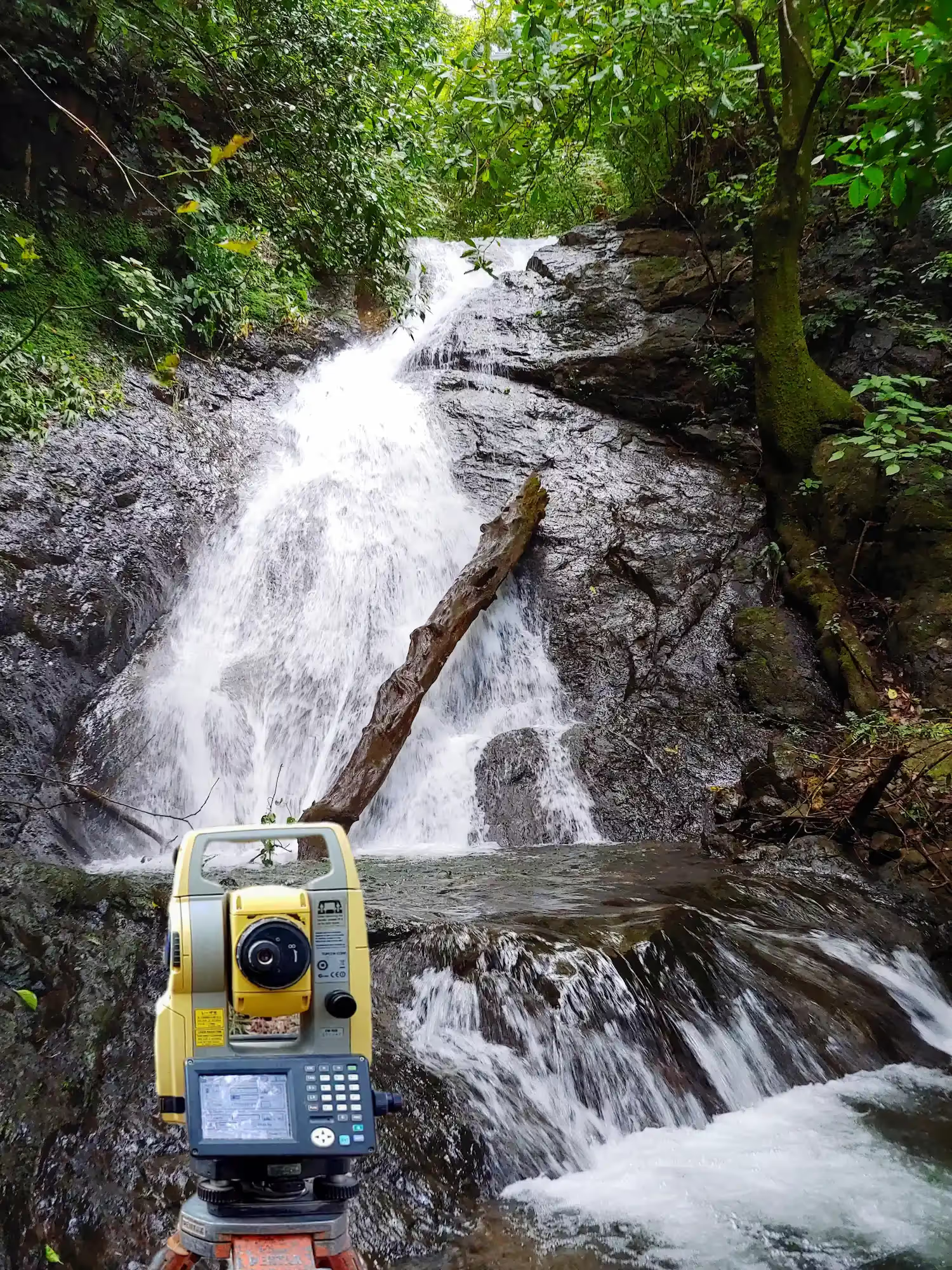
Topographic surveys, cadastral plans, stakeouts, contour lines and terrain data capture with specialized technology.
See surveying servicesSurveyingMaps3D Models360° Tours
Land surveying, interactive maps, 3D models and 360° virtual tours to understand, document and explore spaces and projects.
Illustration: a lot with a house on a hill, shown as a plan with contour lines, as a 3D model with trees and buildings, and as a 360° tour of the house interior.
We combine land surveying, aerial capture, 360° photography and visualization technology to turn real places into information you can measure, analyze and explore from any device.
From measuring the land to touring it virtually: each project can combine the tools it needs.
Accuracy to make decisions.
Topographic surveys, cadastral plans, stakeouts, contour lines and terrain data capture with specialized technology.
See surveying servicesYour data, on the land.
View orthophotos, surveys, parcels, points and other geospatial information on an interactive map, right from the browser.
Explore the project from every angle.
Photogrammetric models, terrain, buildings and other 3D content available in an interactive viewer.
Step into the space from anywhere.
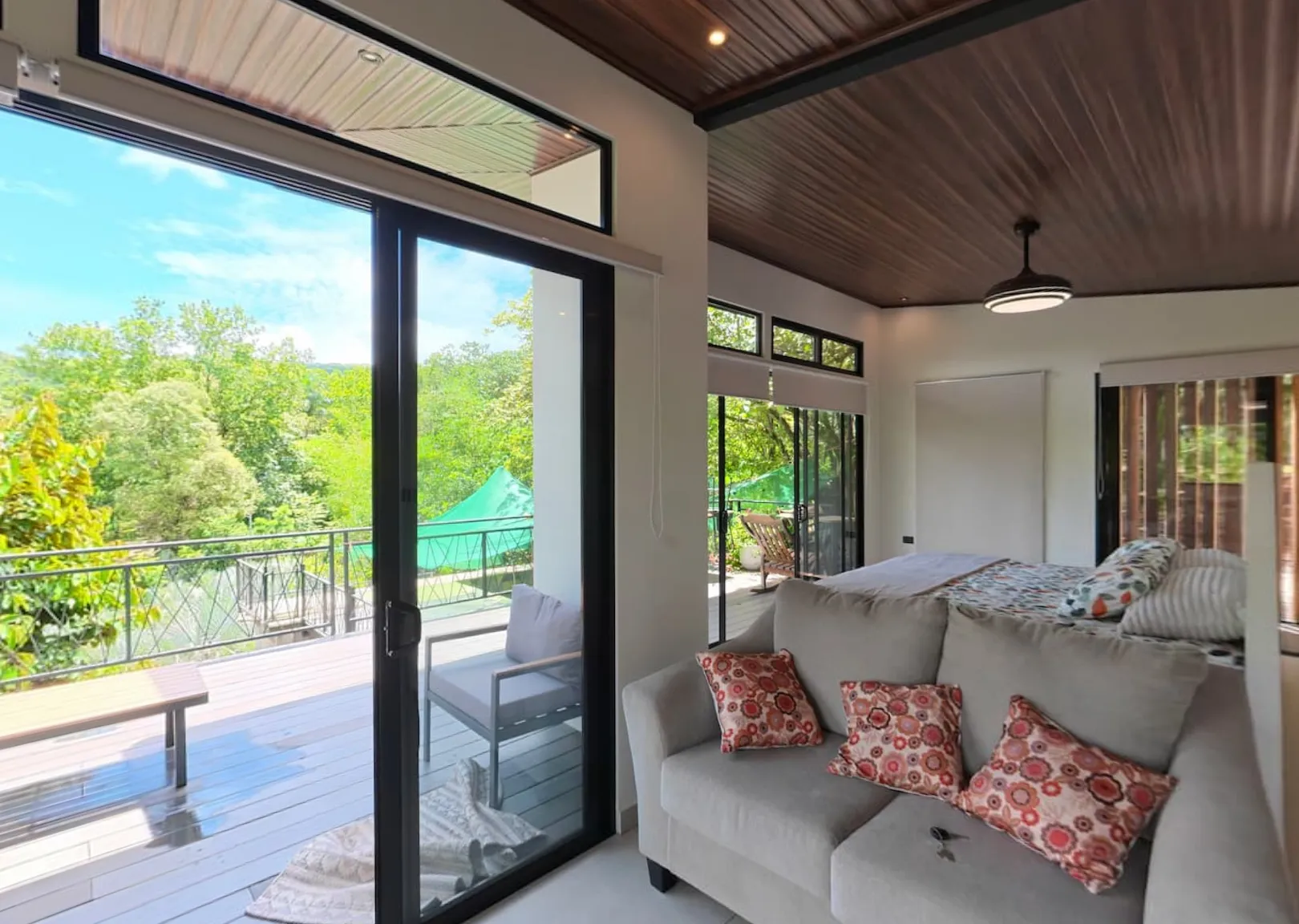
Virtual tours built from ground and aerial 360° photos for properties, projects, businesses and space documentation.
Explore virtual tours(opens in a new tab)Part of the land surveying services TopoModel offers for your projects.
Our own platform
With TopoModel App, a project's information can be explored through maps, 3D models and virtual tours from a single platform.
Open TopoModel App(opens in a new tab)The same project can be explored as a 2D map, a 3D model and a 360° tour, moving from one viewer to another without leaving TopoModel App.
 Illustrative preview
The same capture and visualization tools meet different needs in each sector.
Surveys, orthophotos, terrain models and technical visualization.
As-built documentation, 3D models, BIM and visual progress tracking.
Ground and aerial virtual tours, 3D models and interactive property showcases.
Virtual experiences for hotels, lodging, shops and places of interest.
The right methods and instruments for each job.
Ground surveying, drones, photography and 360° capture.
Information ready to be used, understood and shared.
Maps, 3D models and tours available in TopoModel App.
Tell us what you need to measure, document, model or showcase. We can define the right tools for your project.